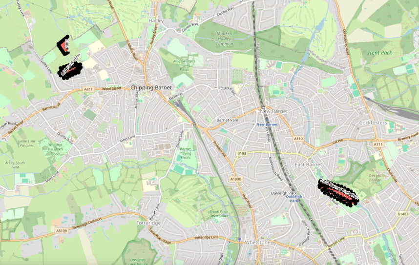
A bit like the workout routes in Project 1, I thought it would be nice to collate all of my waypoint routes on a single map, but I want this to update every time I create a new route.
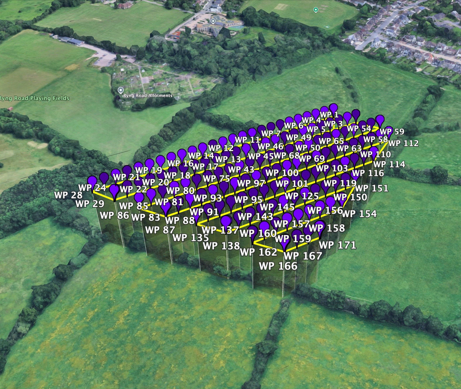
Using Litchi Hub, I can export each waypoint route as I plan it. It exports as a .kmz or .kml file which loads really nicely into Google Earth. But I want to learn more about QGIS and keep everything there.
My thought is that I would export each route as I plan it, and save the .kmz file to a folder. I would then get QGIS to read that folder, find any new routes and add them to my Waypoints Map along with any supplemental data it can extract.
Litchi Hub is great to use for creating my waypoint flight routes and has all the control I need.
There is one limitation around getting the waypoint file onto the drone, but it's a common issue and there are several ways to get around it which I'm currently experimenting with.
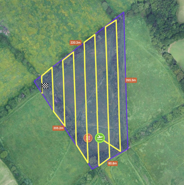
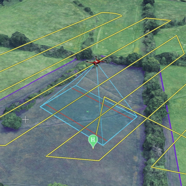
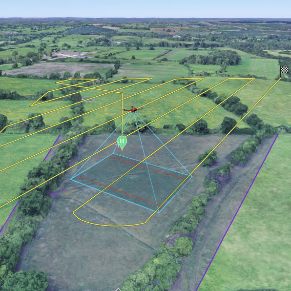
I find the route planning quite fascinating and love looking at the overlays on 3D maps. There's a few settings to understand, but they are quite self-explanatory.
Once I've created a route, I simply export a file to .kml/.kmz
As above, I want all of my new routes to appear in QGIS when I create them. Over time, this will hopefully give me a map showing loads of ares that i've mapped.
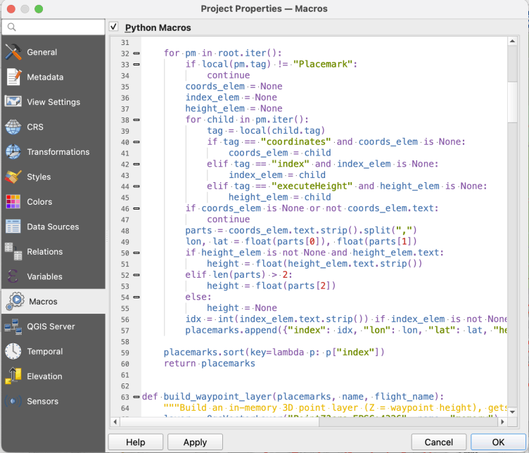
A bit of research tells me that the best way to do this is to use a macro in QGIS. A macro can run every time I open a project, so my thought is to set up a folder where I save all my exported .kmz files, then get the macro to read that folder, check for any new files, import them, create a layer group for each new file with two layers, one for each of the waypoints and another for the path.
The macro is written in Python, and again sadly is slightly beyond my coding skills, so it's back to good old Claude for some help.
It took a quite a few different attempts, as there were issues breaking down the structure of the .kmz file and getting the naming to be sensible etc, but I now have a working macro concept that loads my new routes!
It works well, and it's still just covering some basics, but it's a step in the right direction and i'm understanding QGIS a bit better.
Just need to get that drone, so I can start using some of these waypoint routes and capturing data to do more with in QGIS!
Free AI Website Creator