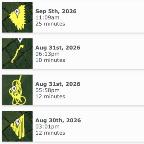
Recent Flights
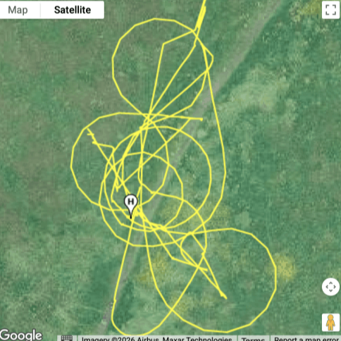
Flight route
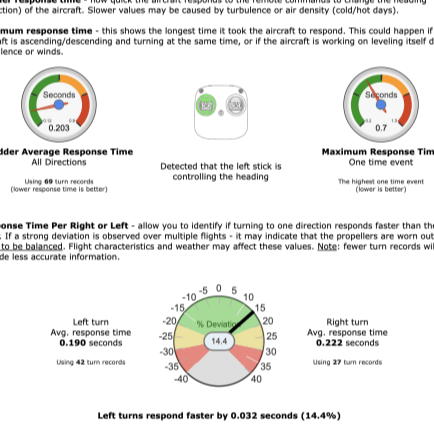
Rudder details
Well I've been flying the drone around a bit, and getting a bit more confident. Not quite mastered all of the controls, but it's early days.
One of the things I was aware of before I started flying was that flight logs could be quite interesting. Now that I've completed a few flights it's time to see what sort of interesting data there is and how I can access it.
A lit bit of Googling quickly set me off in the right direction - AirData. It's way more powerful than I will need, but the capabilities available for free seem perfect for what I need right now.
I use the DJI RC 2 controller which saves all of the flight data, and can automatically sync to the AirData servers over wifi whenever it has new logs.
Setup is really simple, basically just involves signing in to your DJI account, and then the magic happens in the background.
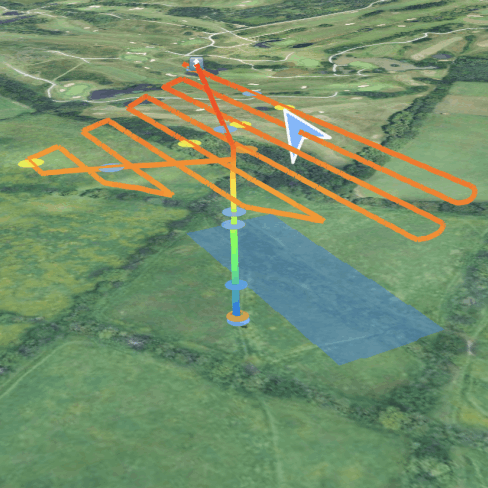
I wasn't entirely sure what kind of data would be extracted, and to be honest I was a little shocked when I saw it all.
In addition to all of the above flight data, I was also impressed by pilot data that is stored. All certifications can be stored and therefore connected to flight data and planned operations.
Another nice feature is the badge, which dynamically updates based on flights as they're synced.

Mobirise