Logo

I'm learning about all things related to GIS, Photogrammetry and Mapping, hopefully gaining some certifications and qualifications, and focusing on any aspects I enjoy the most. I'm using this website to record my research and progress and to  build a portfolio of projects used along the way while learning the skills.

Come back to see how things are progressing!
Latest updates...
Gallery
Refining the process

A better understanding of how things work leads to improved outputs...

Gallery
Project Gallery

The gallery is now live!

The Allottments
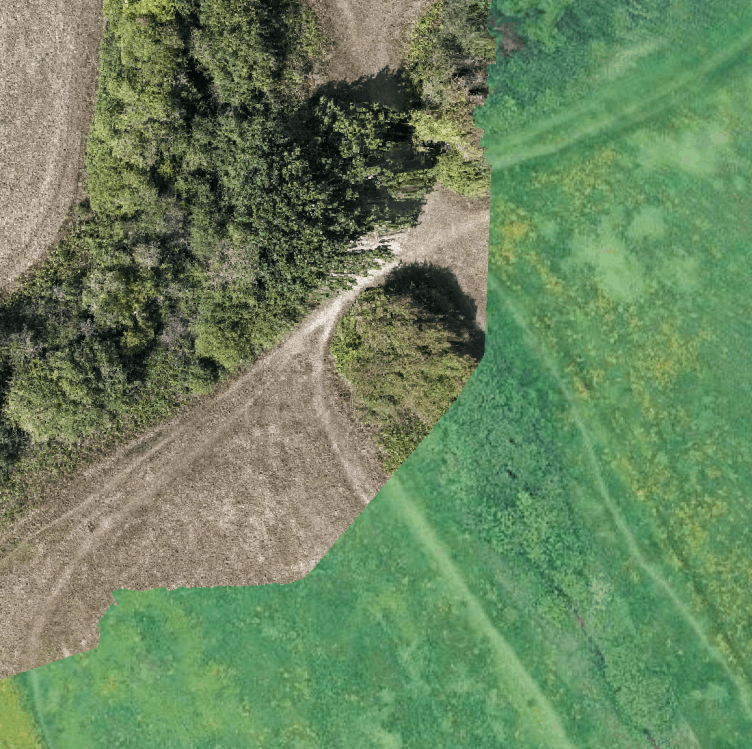
The Allotments

New project - capturing 4 acres to generate Orthomosaic, Point Cloud, DSM & DTM

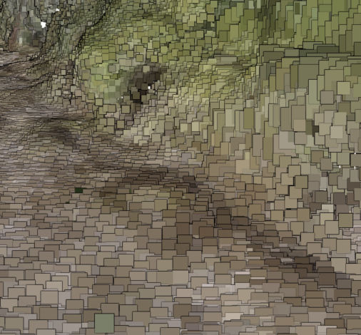
Point Cloud
Point Clouds

Making point clouds usable on the web

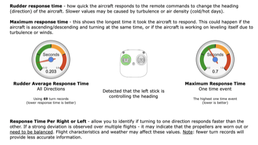
Flight Data
Flight data

Syncing all the flight data to AirData

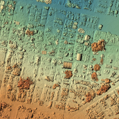
DSM
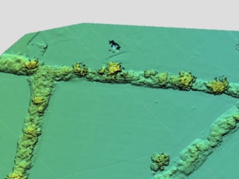
DSM & DTM

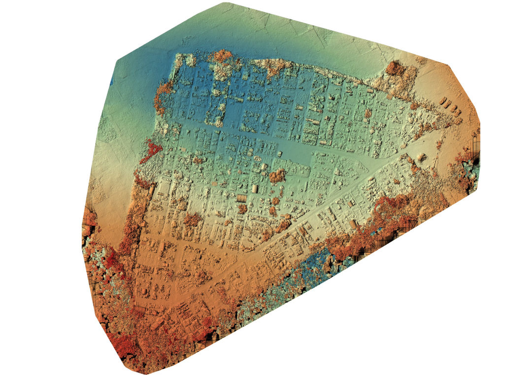
Understanding Digital Surface and Terrain Maps

Project 3
Revisiting Project 3

Fixing a couple of early mistakes I'd made!

QGIS
Deeper into QGIS

Learning more about the powerful GIS software

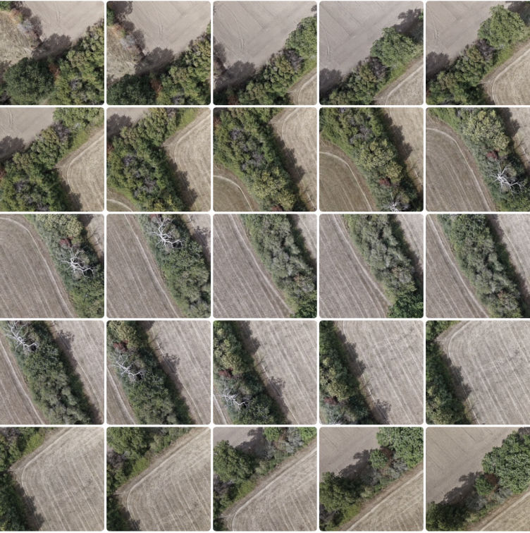
Project 3
Project 3

First Waypoint Mission and Orthomosaic  

Field
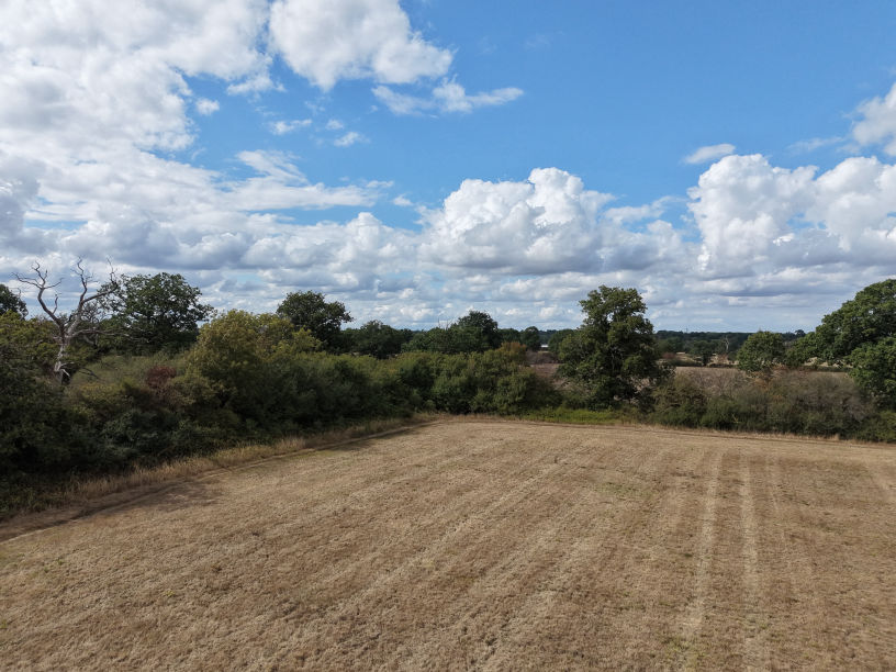
Getting airborne

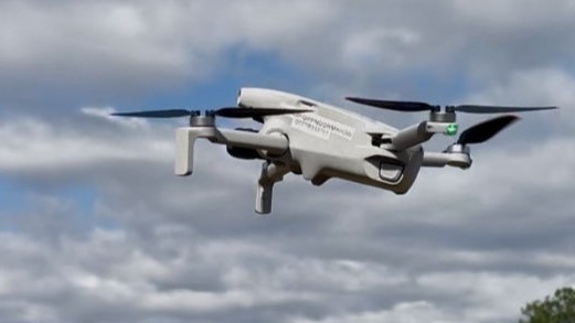
Time to get a drone into the air

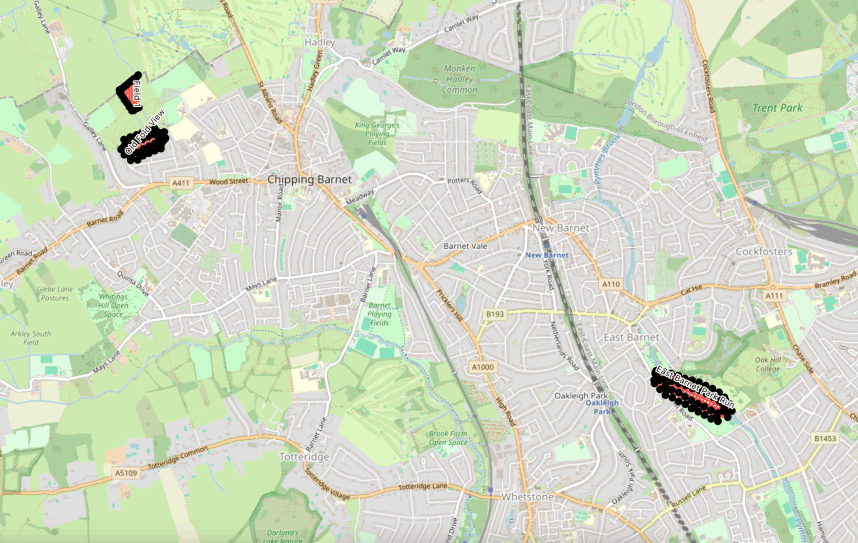
Flight Plans
Project 2

Combining Waypoint routes in QGIS

Drone
Drone research

Regulations, qualifications, and decisions

Drop me a message...

© Copyright 2026 GISMaps.co.uk

‌

Mobirise.com